
In brief
- South America counts 12 sovereign states, to which is added French Guiana, a French territory located on the northeastern coast of the continent.
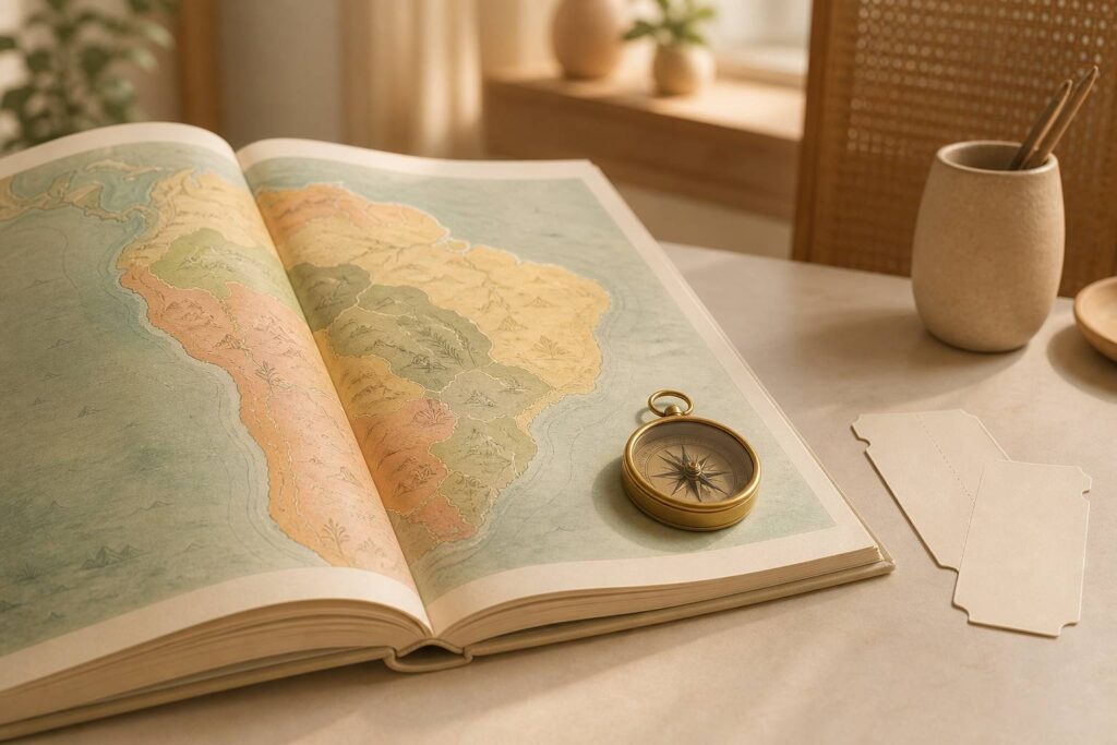
- A detailed map allows you to simultaneously read the borders, capitals, the Andes, the Amazon, and the major maritime routes.
- Geography explains much of the climates, distances, cultures, and travel conditions between South American countries.
- Capitals do not always reflect the demographic or economic weight of the country, such as Brasília in Brazil or La Paz in Bolivia.
Detailed map of South America and continent landmarks
South America forms the southern part of the American continent. It is connected to Central America by the Isthmus of Panama and bordered by the Pacific Ocean to the west, the Atlantic Ocean to the east, and the Caribbean Sea to the north. A detailed map helps to immediately grasp this position between two major oceans, which has shaped human exchanges, climates, and travel routes.
Its area reaches about 17.84 million square kilometers. It thus ranks fourth among continents by area, behind Asia, Africa, and North America. This vastness can be difficult to perceive on a screen. The journey between Bogotá and Buenos Aires covers nearly 4,700 kilometers as the crow flies, a distance that reminds us that exploring the continent requires thinking in regions rather than just neighboring countries.
Reading often begins with the contours. The southern tip, shared between Argentina and Chile, stretches towards the cold waters of Patagonia and Tierra del Fuego. To the north, the coasts of Venezuela, Colombia, Guyana, Suriname, and French Guiana open onto the Caribbean and Atlantic. To the west, the long Chilean strip follows the Andes for more than 4,000 kilometers.
South America comprises twelve independent countries. These are Argentina, Bolivia, Brazil, Chile, Colombia, Ecuador, Guyana, Paraguay, Peru, Suriname, Uruguay, and Venezuela. French Guiana is not a thirteenth South American country. It is a department and region of France, while fully belonging to the South American geographic space.
The distinction between geographic territory and sovereign state avoids many errors on a South America map. It also helps to understand why the border between Brazil and French Guiana is an external border of the European Union, a rare situation worldwide.
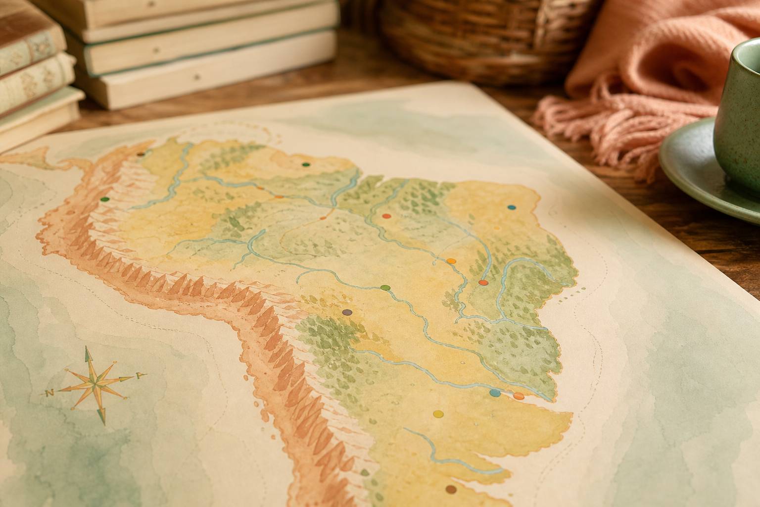
For a first reading, three levels can be observed without getting lost in details. Political borders show the twelve states. Relief colors reveal the Andean range, plateaus, and plains. Blue lines show rivers, which have structured inhabited areas and transportation routes for centuries.
A paper map remains useful for remembering relative positions. Brazil alone occupies almost half of the continental surface. Bolivia and Paraguay have no direct access to the sea. Ecuador, Colombia, Peru, and Chile face the Pacific, while Uruguay and Argentina open widely onto the Atlantic. These landmarks become concrete when preparing an itinerary, a presentation, or a family discovery.
South American countries and their capitals on the map
Matching each country with its capital makes the map more lively. Capitals often concentrate institutions, museums, universities, and major transport networks. However, they are not always the most populous cities. São Paulo far exceeds Brasília in population, but Brasília has been the federal capital of Brazil since 1960.
| Country or territory | Capital | Useful geographical landmark |
|---|---|---|
| Argentina | Buenos Aires | Atlantic coast and vast Patagonian territory |
| Bolivia | Sucre and La Paz | Andean state without a maritime coastline |
| Brazil | Brasília | Largest country on the continent |
| Chile | Santiago | Long ribbon between the Andes and the Pacific |
| Colombia | Bogotá | The only South American country open to two seas |
| Ecuador | Quito | Crossed by the equatorial line |
| Guyana | Georgetown | Northeastern coast on the Atlantic |
| Paraguay | Asunción | Inland country crossed by the Paraguay River |
| Peru | Lima | Andes, Pacific coast, and Amazon |
| Suriname | Paramaribo | Small coastal state in the northeast |
| Uruguay | Montevideo | Between Argentina, Brazil, and the Río de la Plata estuary |
| Venezuela | Caracas | Caribbean north and Guyana Shield |
Bolivia requires particular attention. Sucre is the constitutional capital, while La Paz hosts the seat of government and many national institutions. A simplified map often indicates only La Paz, which may give the impression there is only one answer. The nuance is useful both in schoolwork and travel preparation.
Languages also reflect the history of these territories. Spanish dominates in most countries. Portuguese is the official language of Brazil. Dutch is an official language in Suriname, while English is the official language of Guyana. In French Guiana, French is the administrative language. Indigenous languages, including Quechua, Aymara, and Guaraní, maintain a very present place in several regions.
A capital placed on a map never sums up the diversity of an entire country. Quito is located at altitude in the Andes, while the Galápagos Islands also belong to Ecuador, more than 900 kilometers west in the Pacific. Lima concentrates a large part of Peruvian political life, but the country also includes high Andean plateaus and a vast Amazonian area.
Brazil especially illustrates this scale diversity. It borders all countries on the continent except Chile and Ecuador. Its border with France, via French Guiana, often surprises when discovering the map. It shows that political boundaries can be much more complex than the image of a solely Spanish-speaking continent.
A smoother exploration can rely on an interactive map of South America. Zooming on borders, comparing distances, and locating major cities helps anchor names in a concrete space, instead of memorizing them as isolated lists.
Topography of South America between Andes, Amazon, and plateaus
South American topography is organized around a very clear contrast. To the west rise the Andes, one of the longest mountain ranges in the world. Toward the center and east stretch vast plains, river basins, and ancient plateaus. Reading this relief on a color map helps understand why climate, agricultural cultures, and movements vary so much from one area to another.
The Andes cross or touch Venezuela, Colombia, Ecuador, Peru, Bolivia, Chile, and Argentina. They run along the Pacific coast and create very high-altitude landscapes. Aconcagua, located in Argentina near the Chilean border, reaches 6,961 meters. The air thins there with altitude, which quickly alters travelers’ physical capacities.
A stay in La Paz, situated at about 3,600 meters altitude, is not prepared like an arrival in Montevideo at sea level. During the first days, the body adapts to lower atmospheric pressure. Headaches, breathlessness, unusual fatigue, or mild nausea may appear. Regular hydration, limiting intense effort, and pacing oneself gradually often help. Respiratory discomfort at rest, confusion, chest pain, or persistent vomiting require rapid medical evaluation.
To the east of the Andes extends the Amazon basin. The Amazon River, fed by a vast network of tributaries, mainly crosses Peru, Colombia, and Brazil before reaching the Atlantic. This region is not limited to a continuous forest. It includes waterways, flood zones, river cities, indigenous territories, and protected areas facing strong environmental pressures.
South American relief directly conditions travel routes and seasons. A mountain road may be short on the map but slow in reality, due to turns, altitude, or weather conditions. Conversely, an air journey quickly connects very distant cities but does not allow one to grasp landscape transitions.
The Guiana Shield covers part of Venezuela, Guyana, Suriname, French Guiana, and northern Brazil. Further south, the Brazilian plateau structures a large part of the country’s center and east. The Gran Chaco plains mainly concern Paraguay, Bolivia, and Argentina. The Argentine and Uruguayan pampas, more open and fertile, have supported agriculture and livestock farming that play a role in these regions’ identity.
The Atacama Desert in northern Chile offers another contrast. It is one of the driest places on earth, while the Amazon knows high humidity and abundant rainfall. The continent’s geography thus does not follow a single logic. It juxtaposes extreme environments along the same latitudinal band.
Rivers, climates, and nature on a geographical map of South America
Rivers are major landmarks for understanding the continent. They irrigate the plains, support very rich ecosystems, and sometimes form borders. On a detailed map, the Amazon immediately draws the eye, but the Paraná, Paraguay, Orinoco, and São Francisco rivers also play important roles in transportation, agriculture, and energy production.
The Paraná-Paraguay system connects parts of Brazil, Bolivia, Paraguay, and Argentina. It extends to the Río de la Plata, a vast estuary shared by Argentina and Uruguay. Buenos Aires and Montevideo face each other in this maritime and river space where commercial exchanges have long structured the region.
South American nature can also be read through climates. Near the equator, heat varies less throughout the year than in temperate southern regions. Dry and rainy seasons more strongly organize the calendar. In the Andes, altitude changes temperatures over short distances. In Patagonia, winds, thermal amplitudes, and steppe landscapes require other preparations.
For a trip, looking only at the average temperature of a capital is not enough. Quito, Lima, Cusco, Santiago, and Buenos Aires can experience very different conditions at the same time. A climate map complements the political map. It helps choose appropriate clothing, anticipate routes affected by rainfall, and respect the constraints of certain parks or reserves.
Large natural regions do not follow administrative borders, which makes the geographical map especially valuable. The Amazon covers several countries. The Andes connect peoples and cities separated by borders. The Pantanal, one of the largest tropical wetland areas in the world, extends mainly in Brazil, Bolivia, and Paraguay.
This ecological continuity gives a concrete dimension to biodiversity protection challenges. Deforestation, drought, or pollution of waterways do not stop at border posts. Local and national decisions have effects on entire basins. For families wishing to transmit solid geographic culture, this reading links the map to human, animal, and climatic realities.
Discovery can pass through very simple gestures. Placing a finger on the Andes, following their line from north to south, then joining the Amazon allows you to visualize two axes that organize a large part of the continent. Returning afterward to the crossed countries helps fix the names without turning learning into mere recitation.
Preparing an exploration of South America with a precise map
A successful exploration starts with a map suited to the project. A political map answers the question of countries, borders, and capitals. A physical map enlightens relief, rivers, and altitudes. A road or digital map becomes more useful when the objective is concrete travel. Mixing these uses avoids asking a single document for information it cannot provide.
Distances also call for realistic preparation. The continent is not traveled like a compact destination. An itinerary that combines Colombia, Peru, Bolivia, Chile, and Argentina implies marked changes in altitude, climate, and sometimes pace. Planning rest times between stages protects against fatigue and allows more attentive discovery.
Rural areas, the Amazon forest, certain Andean passes, and Patagonian regions may offer limited connectivity. Downloading offline maps before departure is more reliable than relying on mobile networks. Keeping accommodation addresses, transport schedules, and local numbers in a format accessible without internet also reduces unforeseen events.
- First choose the map according to the objective, with a political version for school landmarks and a topographic version to understand reliefs and rivers.
- Check the altitude of each Andean stage and allow at least one to two days of acclimatization before intense physical activity above 2,500 meters.
- Compare rainy seasons, night temperatures, and road conditions, since two neighbouring regions on a map may require very different equipment.
- Keep an offline version of the itinerary and useful documents, especially when the trip passes through isolated or border areas.
A map can also nourish cultural preparation before departure. The distribution of languages, indigenous, African, European, and Asian influences reminds us that there is no uniform South American culture. Suriname, for example, has a linguistic history distinct from its Spanish-speaking neighbors. Brazil carries a unique Lusophone identity at the continental scale.
Names can become a gateway to this diversity. Exploring American girls’ first names lets you observe how languages, migrations, and cultural references circulate across the Americas. This approach complements geography by linking the lines of a map to family stories and living legacies.
The best map is not the one with the most information, but the one that precisely answers what you seek to understand or prepare. A clear map, progressively annotated with capitals, reliefs, and chosen stops, makes distances less abstract and travel choices more serene.
How many countries are there in South America?
South America counts 12 sovereign countries: Argentina, Bolivia, Brazil, Chile, Colombia, Ecuador, Guyana, Paraguay, Peru, Suriname, Uruguay, and Venezuela. French Guiana belongs to the continent geographically, but it is a French territory and not an independent state.
Which country has the largest area in South America?
Brazil is by far the largest country on the continent. It occupies almost half of South America’s surface area and shares borders with all countries on the continent except Chile and Ecuador.
Why does Bolivia have two capitals?
Sucre is the constitutional capital of Bolivia. La Paz hosts the seat of government, Parliament, and many administrative institutions. The two cities thus have different functions.
Which reliefs to prioritize on a South America map?
The Andes to the west, the Amazon basin in the center and north, the Brazilian plateau to the east, the Guiana Shield to the northeast, the pampas to the southeast, and Patagonia to the south constitute the main topographical landmarks.