
In brief
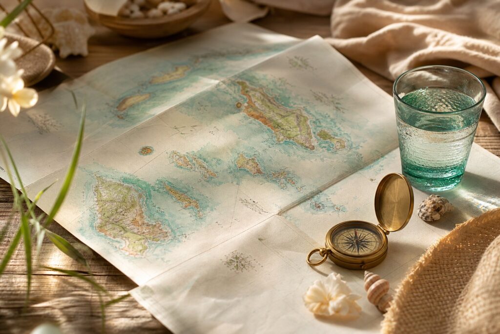
- The complete map of the Seychelles helps to understand the archipelago at a glance, then decide how to explore it without exhausting yourself.
- On a map, the triad Mahé – Praslin – La Digue structures most stays, with more distant islands requiring different logistics.
- Reading the geography and topography helps anticipate travel times, elevation changes, exposure to wind, and the sea being more or less rough depending on the coasts.
- In the Indian Ocean, the Seychelles combine inhabited areas and reserves, which requires adapting tourism to local constraints and nature protection.
- For formalities, a valid passport is necessary for French nationals, and no visa is required for a stay of up to about three months.
- To aim for more stable weather, many travelers prefer April–May or October–November, often milder between seasons.
Complete map of the Seychelles: locating the archipelago in the Indian Ocean and understanding its scales
When a family prepares for departure, the mind seeks stable landmarks. A complete map of the Seychelles plays this role. It reassures because it puts distances in their proper place, and it prevents decisions made “on a whim” that end up costing energy. The Seychelles archipelago is located in the Indian Ocean, off East Africa. On a world map, this means considerable flight times from France, then a very clear change of scale once on site, with islands close to each other but separated by the sea.
This shift in scale matters. A global map serves to measure distance and main axes. A local map is used to plan routes, connections, ferry schedules, and the relief. The Seychelles are often summed up as beaches, whereas the geography is more subtle. Winds, currents, and the layout of the coasts influence swimming, diving, and even fatigue accumulated if several transfers follow one another.
The Mahé, Praslin, La Digue trio as the backbone of interpretation
On most tourist maps, Mahé, Praslin, and La Digue stand out immediately. Mahé is the main island, where the international airport and the capital Victoria are located. On a map, Victoria appears small. In reality, it concentrates many services, which helps when a trip requires quick adjustment, a precise purchase, or organizational changes.
Praslin is at a distance that makes ferry or domestic flight credible depending on budget and seasickness tolerance. La Digue, smaller, is often read as an appendage near Praslin. This cartographic detail has a concrete impact. Accommodation on La Digue may seem “next door” but requires planning bags, schedules, and the way to get around without a car in many areas.
Geography and topography: two words that change days
Geography describes the position of the islands, their coasts, passes, and marine zones. Topography provides information about the relief. On Mahé, the relief is more pronounced than many imagine. A topographic map or an annotated road map helps anticipate that a “short” journey on paper can become long if the road winds, with elevation changes and curves. For parents traveling with a stroller, baby carrier, or easily nauseated child, this element is not trivial.
A simple landmark helps. A sheltered coast on the map does not guarantee flat seas every day, but it increases the chances of easier swimming when the trade wind rises. Conversely, an open cove can be beautiful but less comfortable at certain times. Careful reading avoids disappointments and limits unnecessary trips.
To broaden the way of “reading” a territory, the logic is similar to that described in an interactive map for planning an itinerary: alternating overview and successive zooms until obtaining a plan that resembles real life, not a brochure.
Detailed exploration of the islands on the map: choosing where to settle according to family rhythm
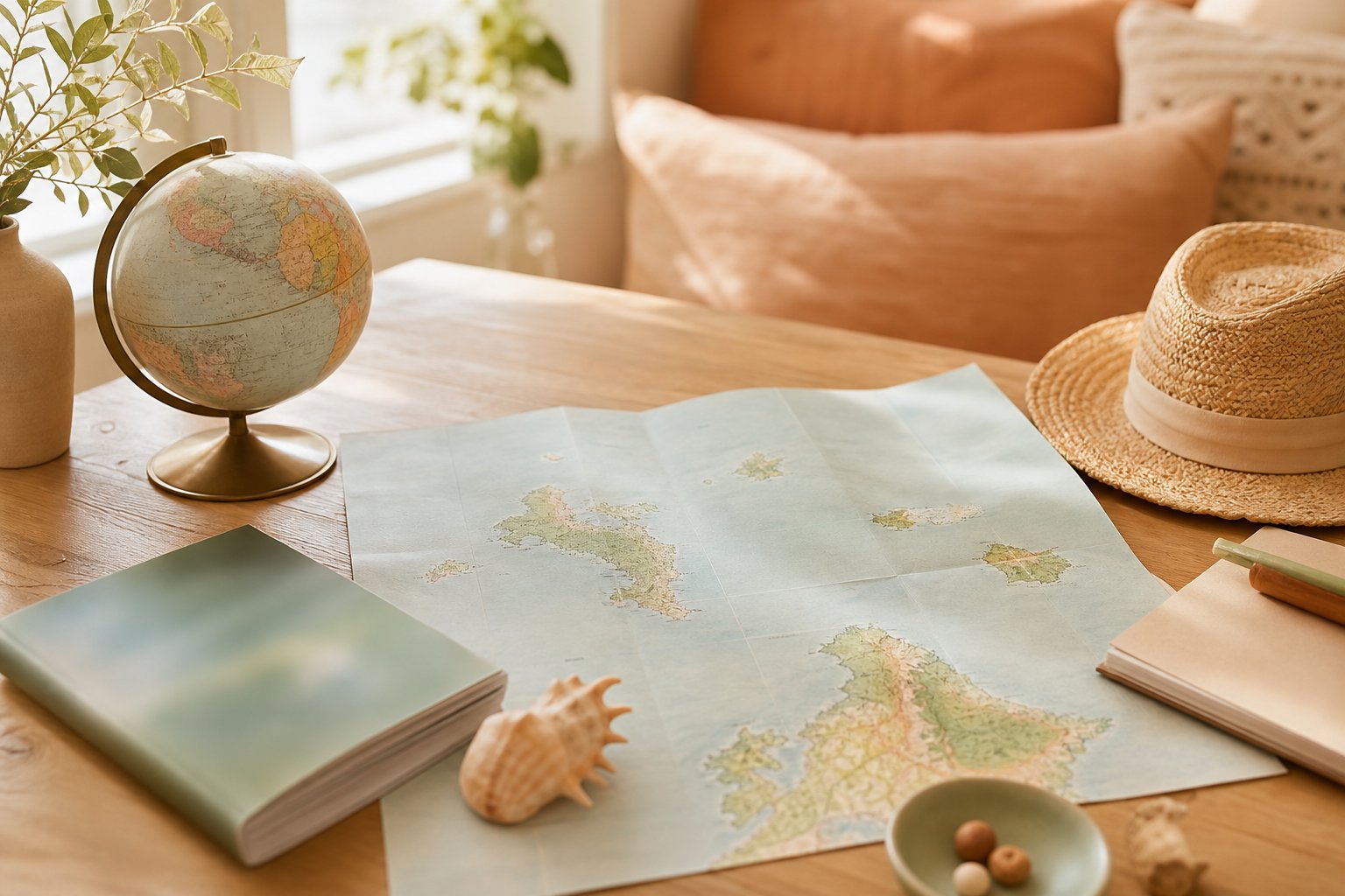
A detailed exploration of the Seychelles rarely starts with “what is the most beautiful”. It begins with “how many changes are tolerable”. On a map, the islands seem aligned and simple to combine. In reality, each transition requires a margin. A missed connection with a tired child turns a day into an obstacle course. The map then becomes a tool to protect the family rhythm.
The Seychelles count 115 islands. On a complete map, many will be mere points. This does not mean they are not worth visiting, but they belong to a different type of stay. Some more isolated islands are experienced as a retreat, with stricter access logistics and fewer fallback options. For parents with an infant or toddler, this parameter deserves to be discussed from the start.
Mahé: the main island, the logistical support point
Mahé reads as a hub. Roads there form a backbone along the coasts, with branches towards the more mountainous interior. On a map, spotting the axes avoids underestimating travel times. Accommodation “at the other end” of Mahé can create long days, especially if the goal is to multiply beach visits.
When the trip includes a baby, a simple strategy soothes. Choosing a base area and limiting major movements to mornings, when many children are more available, changes the experience. This is not a rigid rule. It is a way of respecting a still immature nervous system, which saturates quickly with heat, noise, and transitions.
Praslin and La Digue: deceptive proximity and the art of small radii
Praslin is well prepared with a road map or area plan. Distances are shorter, but points of interest attract simultaneously, creating peaks of attendance. La Digue, often associated with Anse Source d’Argent, reads with a finer plan. Movement there is often by bike or foot, which requires planning hydration, shade, and returns before fatigue overflows.
The beach of Anse Source d’Argent is the most famous. On the map, it appears accessible. On site, access may require a walk and some organization. A child who poorly tolerates heat can tip over quickly. Planning an early departure, a simple snack, and a return option without tension are part of tourism that respects the body, not just the schedule.
The more specific islands: Bird Island, Frégate, and the choice of “less but better”
Some maps mention Bird Island or Frégate. They stand out by their position and access. This reading helps decide whether the goal is to “tick off” places or create breathable days. A stay with few transfers is not a resignation. It is often a condition for everyone to enjoy, including children who have no words to say “it’s too much”.
An indicator can be set. If more than two island changes are planned in one week with a baby under 6 months, a rest margin becomes necessary. Thermal regulation, digestion, and sleep are more fragile at this age. The Seychelles offer beauty that is better savored when the pace is realistic.
Reading a tourist map of the Seychelles: symbols, routes, and common mistakes that cost energy
A tourist map often gives the impression of simplifying everything. Pictograms of beaches, parks, viewpoints create an illusion of proximity. The classic mistake is to stack these pictograms as if it were a shopping list. This way of doing tires adults and deregulates children, because transitions follow one another without recovery time.
The useful reading of a map, the one that really serves, rests on three levels. Level 1 is spotting the islands and connections. Level 2 is anticipating constraints of schedules, heat, and relief. Level 3 is choosing “theme days” with a single geographic area. This progression may seem very organized, but it protects pleasure.
Spotting connections and their concrete consequences
On a map, maritime connections look like lines. In real life, a ferry involves a fixed schedule, early arrival, and managing bags. If a baby is in a phase where naps are short, a transfer in the middle of the day can trigger a difficult late afternoon. It is not a tantrum. It is sensory overload, often amplified by heat and noise.
A simple gesture helps avoid escalation. Preparing a “transition bag” reduces stress. It contains a dry outfit, a snack, water, a complete change of clothes, and a small piece of familiar-smelling fabric. For this point, the logic is close to the use of the swaddle to soothe and organize transition moments, because a soft, known object serves as a sensory landmark for a toddler.
Quick reading table: type of map and actual use
| Type of map | What it shows | What it helps decide | Common mistake |
|---|---|---|---|
| World / regional map | Position of the archipelago in the Indian Ocean | Flight times, time difference, transit logic | Minimizing fatigue of outbound trip |
| Complete map of the Seychelles | All islands and main axes | Choosing 2–3 islands instead of a “full tour” | Trying to see everything in one week |
| Road map of Mahé / Praslin | Roads, implicit relief, sectors | Travel time, stay base, easy returns | Thinking a short trip = fast trip |
| Local plan (La Digue, Victoria) | Access details, entrances, pedestrian zones | Bike/walking trips, breaks, shade | Forgetting the impact of heat on children |
| Map of parks and protected areas | Reserves, trails, prohibitions | Walks compatible with age, nature respect | Improvising without water or sun protection |
A short list to build a breathable itinerary
A map serves better when it leads to simple decisions. A short list, well understood, helps avoid getting scattered.
- Choose a base island and stay there at least 3 nights, to limit adaptation phases and stabilize sleep.
- Draw a radius of 30 to 45 minutes around accommodation for days with a tired child, and reserve longer trips for mornings.
- Plan a “buffer” day after a transfer, without sightseeing goals, to let the body recover from heat and movement.
- Note two options per day, a short version and a long version, to adjust without frustration.
This way of planning leaves room for the living. It also prepares the next section, because the map is not only a tourist tool. It informs about rules, sensitive zones, and the respect owed to an island territory.
Map, nature, and tourism: understanding protected areas and traveling without damaging the Seychelles’ balance
In the Seychelles, nature is not just a backdrop. It structures island life, economy, and site safety. A complete map often shows parks, reserves, and boundaries. This information is not theoretical. It determines where you can walk, where you can anchor a boat, and how to behave on a beach where fauna is fragile.
For parents, there is a direct benefit. A child learns by imitation. Respectful tourism becomes silent education. Picking up litter, staying on paths, avoiding touching animals are actions inscribed in daily life without moralizing discourse.
What the map reveals about the fragility of an archipelago
An archipelago is a system of small lands surrounded by water. This creates endemism and precious biodiversity but also vulnerability. A map indicating protected areas helps understand that a beach can be accessible yet regulated. Some periods may be more sensitive for species reproduction. Local indications must be followed, even if the beach seems “empty”.
On a very practical level, some hikes are announced as short. They can become demanding if humidity is high. With a child, the main risk is not adventure. It is dehydration or exhaustion, which come faster under the tropics. An accessible water bottle, a shady break every 20 to 30 minutes depending on age, and a return before maximum heat are simple landmarks.
Consultation box: signs to watch for in a child under tropical climate
A successful trip does not exclude minor incidents. The useful question is not “is it serious” but “which signs justify medical advice”.
Medical consultation on site (doctor, pediatrician if available, emergency service depending on local organization) is advised if a child shows any of these observable signs.
- Persistent fever or poorly tolerated, especially in a baby under 3 months.
- Unusual drowsiness, difficult to wake child, or behavior very different from usual.
- Repeated vomiting with inability to keep fluids down, or severe diarrhea with few wet diapers.
- Signs of dehydration such as dry mouth, absent tears, rare urination, sunken fontanelle in infants.
- Respiratory distress, marked wheezing, retractions, bluish lips.
Languages, culture, and landmarks to feel welcomed
The map does not only speak of roads. It also leads to culture. The Seychelles have three official languages, with a large majority of the population speaking Seychellois Creole. French and English are also official. This reality facilitates exchanges for many French-speaking travelers, especially in tourism, without erasing the specificity of the local culture.
Historically, the archipelago was under British control until independence in 1976, then followed its own political path. The Seychelles are not French, even though the Francophonie is present. These landmarks help adopt a fair attitude. A destination is not an extension of home. It is a country with its rules, ways of doing things, and pride.
Formalities, seasons, and itineraries: using the map to reduce the unexpected and protect family energy
Preparing formalities often feels like an additional mental load. A complete map of the Seychelles can nevertheless help, because it forces one to ask where arrival, nights, and outings will take place. This precision makes documents easier to gather and avoids last-minute mistakes.
For French nationals, a valid passport is required. The identity card is not sufficient. For a tourist stay not exceeding about three months, a visa is generally not required, subject to entry conditions updated by authorities. Another point weighs on families. Exit authorization for minors has been re-established by France, which requires anticipating if a child travels with only one parent or a third party.
Best period on the mental map of seasons
When a brochure talks about “good season”, it smooths reality. A more useful landmark is to aim for transition periods. Many travelers favor April–May or October–November, between strong heat and marked rainy episodes. On a map, this translates into choosing coasts more sheltered from the wind, and adapted activities, such as visits in the morning and breaks in the afternoon.
With children, heat acts as a physiological factor. Thermoregulation is less effective in young children. A child who flushes, gets irritable, refuses to drink, or starts crying without obvious cause is not “difficult”. They may be overheating. Seeking shade, offering to drink often, and lightening clothes quickly changes the situation.
A concrete reference to organize days with a baby
A realistic day in the Seychelles is built around a maximum of two main activities, separated by a long break in the cool. This landmark protects sleep, digestion, and the mood of the whole family. A map then serves to spot a simple route, an accessible beach, then a stress-free return.
This logic does not take anything away from pleasure. It allows feeling more deeply. A cove visited calmly, a short but joyful swim, a return before saturation, leaves a softer memory than rushing from spot to spot.
For those who love maps and reliefs, the idea of “sea and mountains” is found in other island territories. The way a map of Corsica links coast and interior helps understand that topography is never a trivial detail when traveling with family.
Where are the Seychelles located relative to France?
The Seychelles are located in the Indian Ocean, off the coast of East Africa. From France, the journey involves a long haul flight, then inter-island transfers by ferry or domestic flight depending on the chosen itinerary, which the complete map makes easier to visualize.
What is the capital of the Seychelles?
The capital is called Victoria. It is located on the island of Mahé, which concentrates the international airport and many useful travel services, especially when a family needs to adjust plans or quickly find a resource.
Are the Seychelles French?
No. The archipelago was under British administration until independence in 1976. The Seychelles are today an independent state, member of the Francophonie and the Commonwealth, which explains the presence of French and English alongside Seychellois Creole.
Passport or ID card to travel to the Seychelles?
A valid passport is necessary for French nationals; the ID card is not sufficient. For a tourist stay not exceeding about three months, a visa is generally not required, subject to entry conditions in force at the time of departure. For a minor, exit authorization may be required depending on family situation.
Which period to choose to best enjoy the island map and activities?
Many travelers favor April–May or October–November, often milder between seasons. The map then helps choose wind-sheltered areas, limit transfers, and organize outings early in the morning when the heat is more bearable, especially with young children.